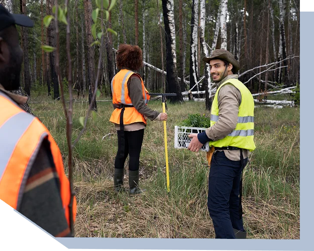
Latitude delivers geotechnical and land data that meet compliance standards, reduce construction risk, and build confidence with regulators and donors.
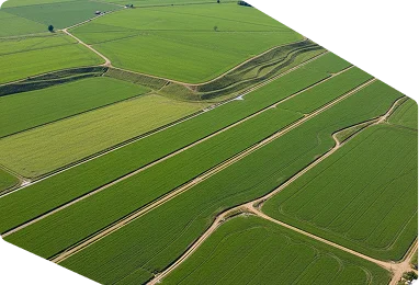
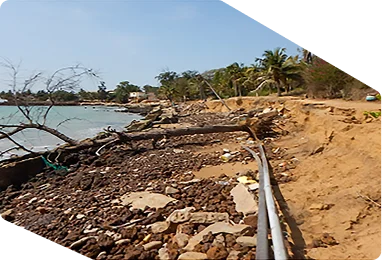
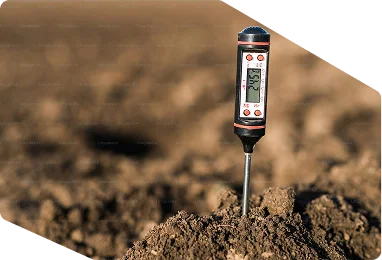
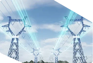
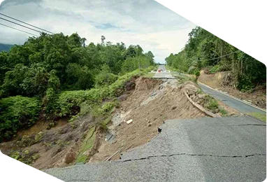
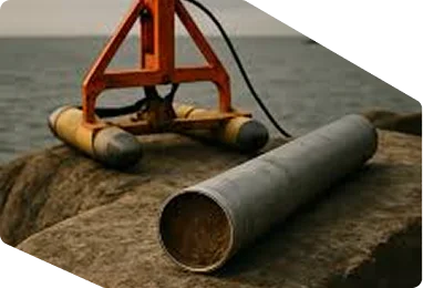
Large-scale infrastructure, housing, and energy projects depend on verified ground conditions. Without reliable geotechnical surveys, agencies face cost overruns, safety hazards, and regulatory delays. Donors and regulators now demand defensible data that proves land suitability and soil stability before approvals or funding are released.


Latitude’s land and geotechnical survey services provide regulators, contractors, and governments with precise assessments of soil, landform, and subsurface conditions.
Provide reports that meet international and donor land-use standards.
Identify soil stability issues before construction begins.
Support safer, longer-lasting infrastructure development.
Soil suitability assessments for sustainable land management.
Subsurface surveys for pipelines, transmission lines, and renewable energy sites.
Foundations and stability checks for roads, bridges, and dams.
Risk mapping for erosion, landslides, and groundwater protection.
Coastal and nearshore land stability studies.
Land-use zoning and approval processes backed by defensible data.
Collect geotechnical and land-use data with field teams and advanced survey tools.
Process soil samples, geophysical readings, and topographic data into actionable reports.
Deliver results aligned with regulatory requirements and donor reporting thresholds.
Latitude delivers platforms that withstand audits, meet regulator standards, and prove outcomes in the Guyana and Caribbean.