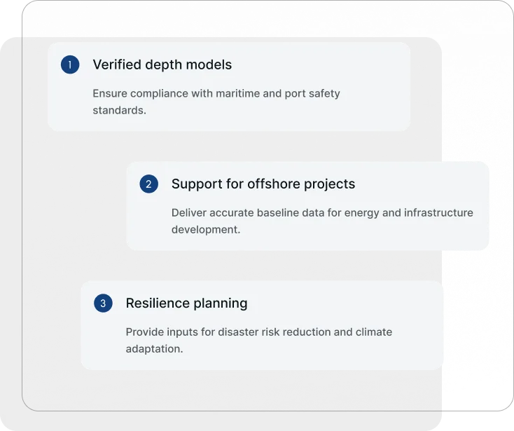
Latitude delivers hydrographic and bathymetric surveys that support port safety, offshore energy projects, and compliance with regional and international maritime standards
Ports, shipping lanes, and offshore projects depend on reliable seafloor data. Inaccurate or outdated charts increase the risk of vessel accidents, costly dredging delays, and regulatory non-compliance. Coastal nations also need verified bathymetric data to strengthen disaster preparedness and climate resilience.
Hydrographic and Bathymetric Surveys for Safer Operations
Latitude provides hydrographic and bathymetric surveys to meet the safety, compliance, and operational needs of governments, ports, and marine industries.
How We Capture and Process Seafloor Data
Survey planning
Define survey scope aligned with port authority and regulator requirements.
Data acquisition
Capture seabed data with sonar and bathymetric systems.
Analysis & reporting
Deliver depth charts, 3D terrain models, and compliance-ready reports.
Our Strategic Partners
Geotechnical Applications by Sector
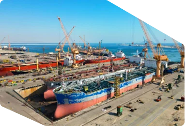
Maritime
Soil suitability assessments for sustainable land management.
Coastal Engineering
Subsurface surveys for pipelines, transmission lines, and renewable energy sites.
Energy
Foundations and stability checks for roads, bridges, and dams.
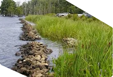
Environment
Track coastal erosion and marine habitat changes.
Ports & Harbors:
Optimize port operations and channel maintenance.
Government & Urban Planning
Strengthen disaster readiness and climate resilience strategies.
Geotechnical Applications by Sector
Maritime
Soil suitability assessments for sustainable land management.
Coastal Engineering
Subsurface surveys for pipelines, transmission lines, and renewable energy sites.
Energy
Foundations and stability checks for roads, bridges, and dams.
Environmental
Track coastal erosion and marine habitat changes.
Ports & Harbors:
Optimize port operations and channel maintenance.
Government & Urban Planning
Strengthen disaster readiness and climate resilience strategies.
Built for Governments. Trusted for Program Delivery.
Latitude supports national and enterprise programs with defined delivery standards, secure data systems, and technical services designed to meet audit, regulatory, and operational requirements across Guyana and the Caribbean.