Train Teach and Stream
Anywhere

Latitude EDU is a secure web-based live-streaming platform designed for teachers, mentors, and agencies to deliver classes, workshops, and collaborative learning sessions online. 

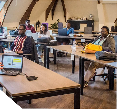
Bridging the GIS Skills Gap

Universities, training centers, and public agencies often struggle to scale education programs when travel is costly, classrooms are full, or trainers are limited. The need for a reliable, interactive, and secure digital learning platform has never been greater. 

GIS Training

Why Learners and Institutions Choose Latitude

A Platform Built for Learning and Sharing 

Latitude EDU enables instructors and institutions to host live classes, knowledge-sharing sessions, and workshops directly online. It combines high-quality video streaming, interactive collaboration, and secure participation tracking—making education accessible anywhere while maintaining the quality of in-person instruction 

Deliver Lessons Without Borders 

Teach, train, and mentor participants across regions in real time

Engage Learners Actively

Use live polls, quizzes, and document sharing to create interactive sessions. 

Ensure Accountability and Security 

Track attendance automatically and protect all content under enterprise-grade data privacy controls. 

Applying LiDAR Across Sectors

Live Video Sessions

Engage directly with students or participants using stable, high-quality video streaming. 

GIS Training

Document & Presentation Sharing

Share study materials, navigate slides, and annotate together in real time. 

GIS Training

Secure Access Controls

Sessions and files remain private, accessible only to approved participants. 

GIS Training

Attendance Monitoring

Record attendance automatically, ensuring full participation and compliance. 

GIS Training

Polls & Quizzes

Measure learner understanding instantly and tailor your lessons based on feedback. 

GIS Training

Live Collaboration Tools

Co-edit documents and use whiteboards for team exercises or brainstorming. 

GIS Training

Sub-5cm Accuracy for Safer
Infrastructure 

Latitude delivers geospatial big data processing and AI-powered analytics tailored for Caribbean and LATAM operations. 

Featured in national GIS Day events

for advancing geospatial education and capacity-building in the Caribbean. 

Certified GIS Professionals (GISP)

within the Latitude team lead and deliver EDU training programs. 

Used by regional universities and public agencies

to deliver remote training, certification, and workforce-development programs. 

Core Features for Interactive Training 

Who Uses Latitude EDU 

Universities & Training Institutes

Run lectures, labs, and workshops online with verified attendance and content sharing. 

Data acquisition

Deliver nationwide training for employees, extension officers, and field teams. 

Private Mentors & Coaches

Host remote classes, manage sessions, and issue digital certificates seamlessly. 

Built for Governments. Trusted
by Donors. 

Latitude delivers platforms that withstand audits, meet regulator standards, and prove outcomes in the Guyana and Caribbean.