Latitude processes vast spatial datasets with AI and machine learning to deliver compliance-grade insights that strengthen resilience, reduce costs, and support national planning
Enterprises and governments collect more spatial data than they can use. Without AI-driven processing, critical signals remain hidden, slowing approvals, inflating costs, and weakening disaster readiness. Donors and regulators now expect transparent baselines, migration-ready platforms, and measurable outcomes. GeoAI bridges these gaps with analytics that prove value and withstand audits.
Turning Big Data into Actionable Intelligence
Latitude delivers geospatial big data processing and AI-powered analytics tailored for Caribbean and LATAM operations.
Process at scale
Ingest satellite, UAV, LiDAR, and IoT feeds into unified systems.
Predict outcomes
Generate forward-looking models for agriculture, infrastructure, and climate resilience.
Comply with standards
Deliver decision-grade outputs that meet donor and regulatory thresholds.
Our Strategic Partners
How We Deliver Predictive Insights
Data Integration
Aggregate and clean spatial datasets from multiple sources.
AI/ML Analytics
Apply machine learning for pattern recognition, anomaly detection, and forecasting.
Actionable Delivery
Publish dashboards, reports, and APIs that decision-makers can trust and adopt.
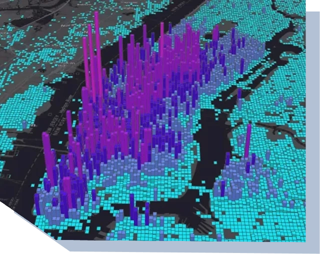
National-Scale Intelligence for Compliance and Monitoring
Applied in environmental monitoring and mining compliance frameworks at national scale, supporting transparency and regulator reporting.
AI and Big Data in Action Across Sectors
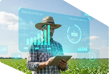
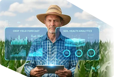
Agriculture
AI-driven yield forecasting and soil-health analytics.
Energy
Predictive maintenance for grids, pipelines, and renewable assets.
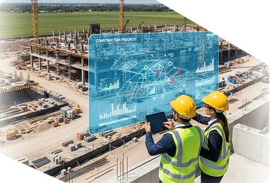
Infrastructure
Construction progress monitoring and risk prediction models.
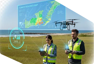
Environment
Climate resilience mapping and disaster early warning
Maritime
Vessel movement analytics and coastal risk detection.
Government & Urban Planning
Population mapping, cadastral modernization, and urban growth forecasting.
Climate Analytics Applied to Key Sectors
Agriculture
AI-driven yield forecasting and soil-health analytics.
Energy
Predictive maintenance for grids, pipelines, and renewable assets.
Infrastructure
Construction progress monitoring and risk prediction models.
Environmental
Climate resilience mapping and disaster early warning
Maritime
Vessel movement analytics and coastal risk detection.
Government & Urban Planning
Climate adaptation dashboards for capital works and zoning.
Built for Governments. Trusted for Program Delivery.
Latitude supports national and enterprise programs with defined delivery standards, secure data systems, and technical services designed to meet audit, regulatory, and operational requirements across Guyana and the Caribbean.