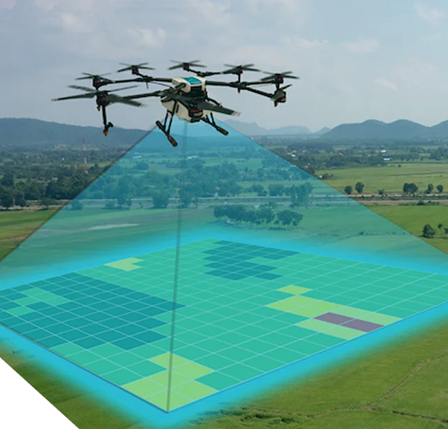
Capture high-resolution aerial data that meets regulatory standards and reduces field risk. Trusted for safe, compliant, and cost-efficient decision-making at scale.
Governments, enterprises, and donors require accurate field data delivered quickly and with full compliance. Traditional ground surveys are slow, costly, and expose teams to safety risks. UAV and drone surveys resolve these challenges by producing reliable, regulator-ready datasets with minimal downtime.
Trusted in National Planning & Disaster Response
Used in national planning and disaster-readiness programs across multiple ministries, supporting post-disaster mapping and infrastructure resilience planning.
Our Strategic Partners
Flight Planning, Capture, and QA—Our Survey Workflow
Mission Planning
Define objectives, airspace permissions, and safety protocols.
Data Capture
Deploy UAVs for high-resolution aerial imagery and LiDAR scanning.
Processing & Delivery
Transform raw data into regulator-ready maps, 3D models, or integration files for enterprise GIS systems.
Data Capture
Deploy UAVs for high-resolution aerial imagery and LiDAR scanning.
Processing & Delivery
Transform raw data into regulator-ready maps, 3D models, or integration files for enterprise GIS systems.
Aerial Survey Use Cases by Sector
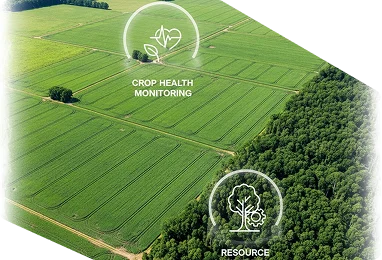
Agriculture & Forestry
Monitor crop health, map forest cover, and optimize resource use.
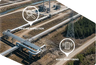
Oil & Gas / Energy
Inspect pipelines, powerlines, and infrastructure safely and at scale.
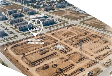
Infrastructure & Utilities
Support planning, construction monitoring, and compliance reporting.
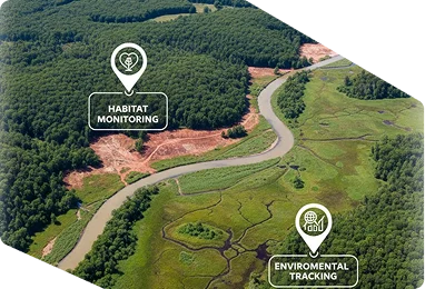
Environmental Management
Track erosion, wetlands, and habitat changes with reliable evidence.
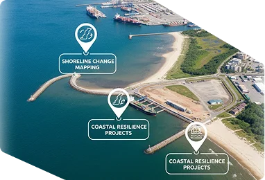
Maritime & Coastal
Map shoreline change, ports, and coastal resilience projects.
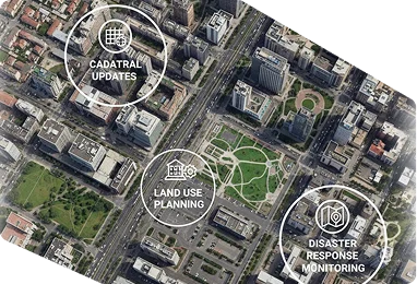
Government & Urban Planning
Support cadastral updates, land use planning, and disaster response.
Aerial Survey Use Cases by Sector
Agriculture & Forestry
Monitor crop health, map forest cover, and optimize resource use.
Oil & Gas / Energy
Inspect pipelines, powerlines, and infrastructure safely and at scale.
Infrastructure & Utilities
Support planning, construction monitoring, and compliance reporting.
Environmental Management
Track erosion, wetlands, and habitat changes with reliable evidence.
Maritime & Coastal
Map shoreline change, ports, and coastal resilience projects.
Government & Urban Planning
Support cadastral updates, land use planning, and disaster response.
Our Strategic Partners
Built for Governments. Trusted for Program Delivery.
Latitude supports national and enterprise programs with defined delivery standards, secure data systems, and technical services designed to meet audit, regulatory, and operational requirements across Guyana and the Caribbean.