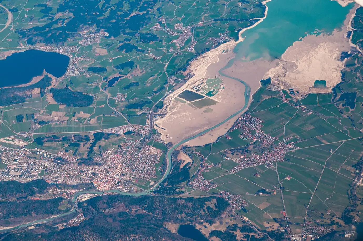
In the heart of agriculture, a tech revolution is unfolding, transforming the way farmers cultivate the land. Geospatial intelligence has become the cornerstone of this revolution, providing farmers with a suite of tools and insights that redefine precision farming and yield optimization. This blog delves into the ways geospatial intelligence empowers agriculture, enhancing productivity, sustainability, and the overall resilience of farming practices.
Introduction: In an era where technology shapes the future, agriculture stands at the forefront of a transformative revolution. Geospatial intelligence, encompassing satellite imagery, drones, and advanced mapping tools, has become an indispensable ally for farmers seeking to navigate the complexities of modern agriculture. This blog explores the profound impact of geospatial intelligence on farming practices and the agricultural landscape.
Precision Farming Redefined: Geospatial intelligence redefines precision farming by offering farmers a detailed and real-time understanding of their fields. From monitoring crop health to assessing soil conditions, the technology enables precise decision-making. Farmers can optimize resource allocation, implement targeted interventions, and maximize yields, ushering in a new era of efficiency and accuracy in agriculture.
Smart Crop Management: The integration of geospatial intelligence facilitates smart crop management through real-time monitoring. Farmers gain comprehensive insights into crop growth, enabling them to identify potential issues early on. From irrigation planning to pest control, the technology equips farmers with the tools to proactively manage their crops, enhancing overall agricultural productivity.
Data-Driven Decision-Making: Geospatial intelligence empowers farmers with data-driven decision-making capabilities. Geographic Information System (GIS) technology enables the overlay of diverse spatial data layers, including soil quality, weather patterns, and historical crop performance. This holistic approach allows farmers to make informed decisions, from crop selection to planting schedules, based on comprehensive and dynamic datasets.
Sustainable Agriculture Practices: Agricultural sustainability is a critical consideration, and geospatial intelligence plays a pivotal role in promoting eco-friendly farming practices. By precisely mapping fields and analyzing environmental factors, farmers can optimize the use of resources such as water and fertilizers. This targeted approach minimizes environmental impact and contributes to the broader goal of sustainable agriculture.
Weather Resilience and Risk Mitigation: Geospatial intelligence aids farmers in building resilience against weather-related challenges. By monitoring weather patterns and predicting climatic shifts, farmers can implement risk mitigation strategies. From adjusting planting schedules to preparing for extreme weather events, the technology enables a proactive response to climate variability, safeguarding crops and livelihoods.
Conclusion: Geospatial intelligence emerges as the cornerstone of a tech revolution in agriculture, offering farmers a suite of tools that elevate productivity, sustainability, and resilience. As farmers embrace the power of precise insights and data-driven decision-making, the synergy between technology and agriculture paves the way for a more efficient, sustainable, and tech-enabled farming future. The journey towards agricultural empowerment through geospatial intelligence signifies not just a technological evolution but a fundamental transformation in the way we cultivate the land.


