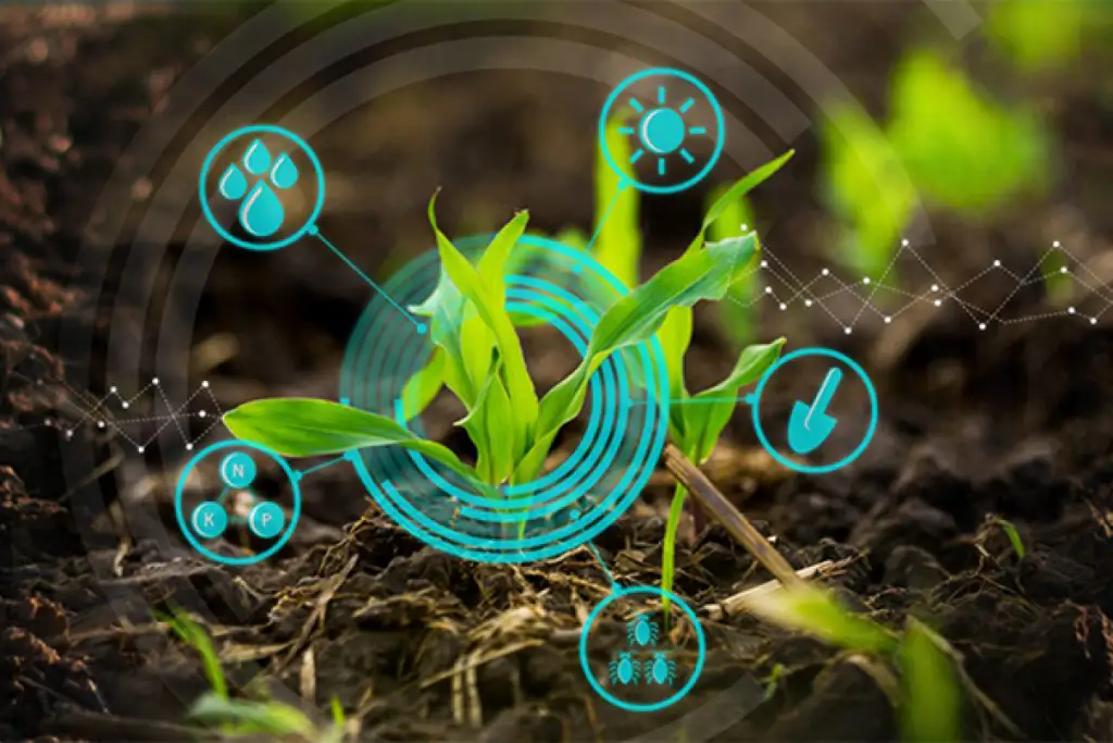
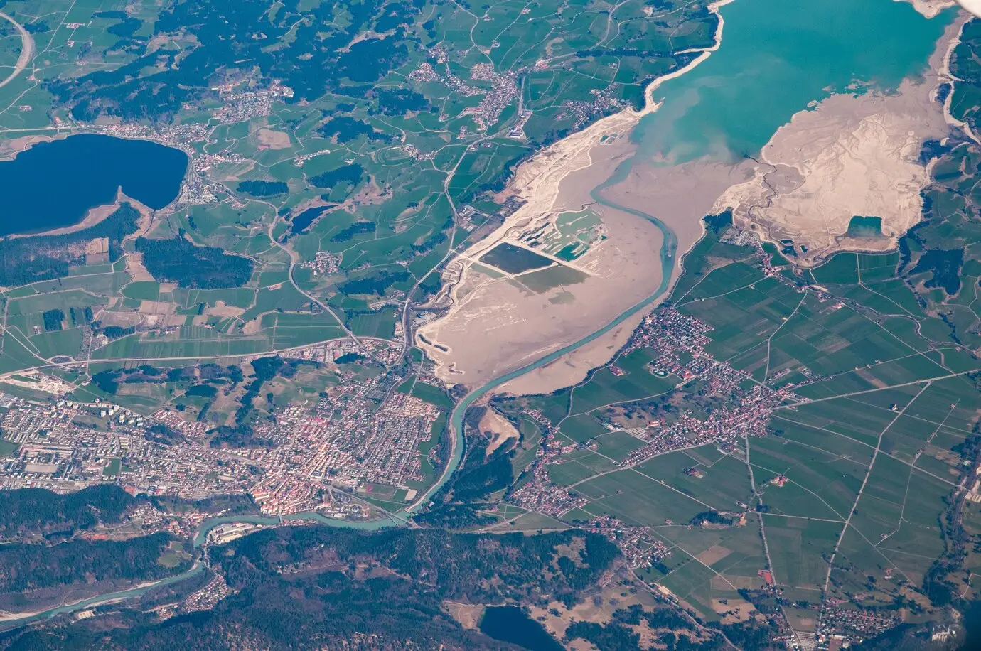
In the era of smart farming and sustainable agriculture, geospatial solutions have emerged as a catalyst for transformative growth. This blog explores the pivotal role that Latitude Geospatial plays in steering the agricultural sector towards efficiency, precision, and ecological sustainability.
Unleashing Precision Agriculture with Geospatial Insights: Delve into the world of precision agriculture, where geospatial insights redefine farming practices. Explore how advanced mapping technologies, coupled with data-driven decision-making, optimize resource usage, crop management, and yield predictions for sustainable and high-yield farming.
From Soil Health to Crop Monitoring: GIS in Agriculture: Discover the multifaceted applications of Geographic Information Systems (GIS) in agriculture. Explore how GIS aids in soil health assessment, crop monitoring, and precision farming practices, providing farmers with actionable insights to enhance productivity while minimizing environmental impact.
UAV Solutions: Transforming Agricultural Surveys from Sky High: Embark on an aerial journey with UAV solutions, revolutionizing agricultural surveys. Uncover how drones equipped with high-precision technology facilitate rapid and accurate data collection, allowing farmers to monitor crop health, assess field conditions, and optimize land use with unparalleled efficiency.
Geospatial Big Data Analytics: Cultivating Sustainable Practices: Explore the role of geospatial big data analytics in fostering sustainable agricultural practices. Learn how scalable algorithms and analytics enable farmers to make data-driven decisions, promoting resource efficiency, reducing environmental impact, and ensuring the long-term viability of farming operations.
Tailored Solutions for Every Crop and Climate: Navigate the diverse landscapes of agriculture as Latitude Geospatial provides tailored solutions for various crops and climates. From precision irrigation planning to disease prediction models, our geospatial services empower farmers with tools that address the specific challenges of their agricultural ecosystems.
Empowering Farmers: Geospatial Technology for Informed Decisions: Conclude the exploration by understanding how geospatial technology empowers farmers with informed decisions. Witness how Latitude Geospatial’s commitment to innovation and sustainability contributes to the evolution of agriculture, steering towards a future where technology and ecological harmony coexist.
Embark on this insightful journey into the realm of geospatial solutions in modern agriculture, where Latitude Geospatial pioneers change by fostering sustainable practices, informed decision-making, and a brighter future for farmers and our planet.


