In the realm of modern agriculture, the integration of geospatial solutions has revolutionized the way farmers approach their craft. From precision farming techniques to data-driven decision-making, the impact of geospatial technology is profound and far-reaching.
Introduction: In recent years, the agriculture industry has experienced a remarkable transformation, thanks to advancements in geospatial solutions. These technologies, ranging from satellite imagery to drones and sophisticated mapping tools, have ushered in an era of precision farming. This blog explores how geospatial solutions are reshaping agriculture and empowering farmers with unprecedented insights.
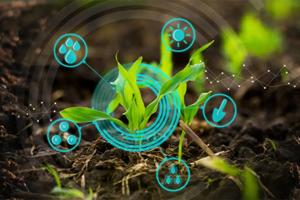
Precision Farming for Optimal Yield: Geospatial technology enables precision farming by providing farmers with accurate and real-time data about their fields. Satellites and drones capture high-resolution imagery, allowing farmers to assess crop health, monitor soil conditions, and identify potential issues such as pest infestations or irrigation challenges. This precision-driven approach empowers farmers to optimize resource allocation and enhance overall yield.
Data-Driven Decision-Making: One of the significant advantages of geospatial solutions in agriculture is the ability to make informed decisions based on data. Geographic Information System (GIS) technology allows farmers to overlay various layers of information, such as soil quality, weather patterns, and historical crop performance. By analyzing this spatial data, farmers can make strategic decisions, from crop selection to planting schedules, leading to improved efficiency and productivity.
Sustainable Practices and Environmental Stewardship: Geospatial solutions contribute to sustainable agriculture practices by promoting efficient resource use. By precisely mapping fields and understanding environmental factors, farmers can minimize the use of fertilizers, pesticides, and water, reducing the environmental impact of agricultural activities. This emphasis on environmental stewardship aligns with the growing demand for sustainable and eco-friendly farming practices.
Enhanced Crop Monitoring and Management: With real-time monitoring capabilities, geospatial solutions provide farmers with a comprehensive view of their entire agricultural landscape. This includes tracking the growth progress of crops, identifying areas that may require additional attention, and responding promptly to changing conditions. The result is improved crop management and a proactive approach to addressing potential challenges.
Conclusion: As we navigate the complexities of modern agriculture, geospatial solutions stand as a transformative force, empowering farmers with the tools needed to navigate challenges and seize opportunities. The precision, data-driven insights, and sustainable practices fostered by geospatial technology not only benefit individual farmers but also contribute to the overall resilience and sustainability of the agriculture industry.
In conclusion, the marriage of geospatial solutions and agriculture marks a pivotal moment in the history of farming. The ability to harness the power of location-based intelligence is propelling agriculture into a new era of efficiency, sustainability, and productivity. As technology continues to evolve, so too will the ways in which geospatial solutions shape the future of agriculture.


